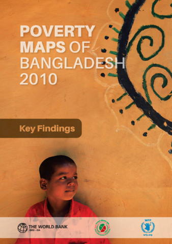
The Poverty Maps of Bangladesh 2010, the third of their kind, are an important statistical instrument to better understand the geographical variations and spatial inequality in growth and poverty. The upazila (sub-district) level maps are developed jointly by the Bangladesh Bureau of Statistics (BBS), the World Bank and the United Nations World Food Programme (WFP).


