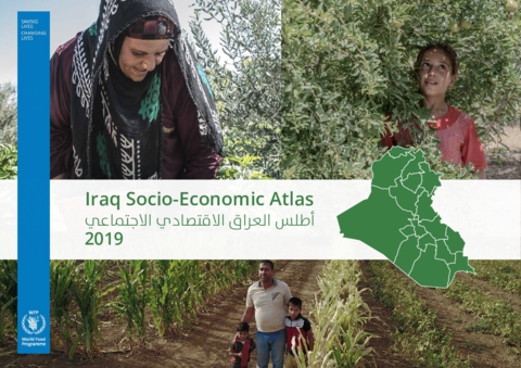
In 2019, WFP presented its second Iraq Socio-economic Atlas. The 2019 Atlas illustrates agriculture, poverty, nutrition, gender and youth, disaggregated by sex and age, in Governorate level thematic maps; and includes 18 District maps and infographics in addition to the 16 Districts presented in the 2018 Atlas. The 2019 Atlas allows a long-term development planning perspective of Iraq. It maps new findings from the sixth round of Multiple Indicator Cluster Surveys in Iraq (2018), satellite image land cover analysis (WFP RBC 2018) and incorporates the extensive experience of UN agencies such as UNFPA, FAO, UNDP, UN-Habitat, UNMAS, UNICEF, along with WFP.